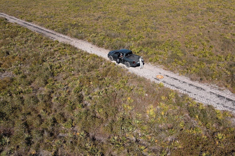
Earthology partners with FWC to monitor habitat at Three Lakes WMA
- Alyssa Cavanaugh

- Feb 23, 2024
- 2 min read
Earthology’s Uncrewed Aerial Systems (UAS, aka Drone) Pilot, Jeff Howe, has been volunteering his time over the last four years to help the Florida Fish and Wildlife Conservation Commission (FWC) assess dry prairie habitat at Three Lakes Wildlife Management Area (TLWMA) in Kenansville, Florida (Osceola County). The FWC is conducting a study to determine if roller-chopping unwanted saw palmetto can open the habitat needed by ground-nesting birds such as the Bachman’s sparrow (Peucaea aestivalis), eastern meadowlark (Sturnella magna), and endangered Florida grasshopper sparrow (Ammodramus savannarum floridanus; FGSP). Specifically, the study will determine whether roller chopping, in combination with prescribed burning, is an effective land management tool to assist in the following:
1. Decrease the height and density of saw palmetto,
2. Increase the occupancy and abundance of the endangered FGSP, and
3. Decrease nest predation rates of ground nesting birds in Florida dry prairie.
FWC selected 18 sites (10 control “unchopped” sites and 8 “chopped” sites), each about 5 to 6 acres in size; all sites are burned every 2 to 3 years. Jeff flew his DJI Mavic 2 Pro drone with Pix4D Capture application to photograph each site so that the habitat changes and suitability can be assessed annually by FWC. Jeff conducted a series of preliminary flights at 150 ft, 250 ft, and 350 ft to determine the best altitude for resolution and ground sampling distance (GSD). GSD is a metric that is useful for photogrammetry and measurements in drone mapping and surveying projects. GSD is defined as the distance between the centers of two adjacent pixels measured on the ground. This metric is related to the camera focal length, the resolution of the camera sensor, and the camera’s distance from the subject. It is usually described in centimeters (cm) per pixel (px). In photogrammetry and aerial surveying, GSD can affect the accuracy of your survey. The data collected during the survey were transformed into real-world measurements and distances. A GSD of 5 cm/px means that one pixel in the image represents a 25 cm2 area on the ground. A smaller square translates to more detail within the image.

An aerial image showing the presence of saw palmetto (in green).
FWC is currently analyzing Jeff’s 2024 images and he expects to conduct another round of UAS flights in February 2025. We are confident that the assessment reports will be available soon and hopeful that this will result in another land-management tool to restore dry prairie habitat for ground nesting birds including the endangered FGSP.


Comments